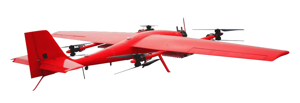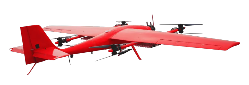
Mapping Hybrid Wing UAV
1. Mapping Hybrid Wing UAV can switch flight modes freely.
2. Mapping Hybrid Wing UAV has a higher load capacity.
3. Mapping Hybrid Wing UAV has a wide range of applications.
- Information
Product introduction of Mapping Hybrid Wing UAV:
Mapping Hybrid Wing UAV is a hybrid wing UAV model that combines multi-rotor and fixed wing. It not only has the characteristics of dexterity and convenience of multi-rotor, but also has the characteristics of long flight time of fixed wing. Mapping drones can be equipped with surveying and mapping equipment, such as high-resolution, high-definition cameras or radar systems etc., for geographic environment detection, and aerial photos, video shooting, etc. Surveying and mapping drones, with its fixed-wing model, can fly quickly in the air and quickly complete work tasks within a limited time. In addition, surveying and mapping drones rely on its other multi-rotor model , which can turn on flight mode at any time in some harsh terrain without the need for power running, can achieve vertical range of take-off and landing, and can also hover in the air. The Hybrid Wing GPS UAV control system, there are cruise points planned in advance and an automatic cruise program is set for it, with the ability to automatically switch cruise routes between cruise points. Geographical mapping drones can not only be used for geographic mapping, but also have different working modes and advantages in other industries and fields.

The product advantages of mapping hybrid wing UAVs:
1. The flight time for mapping drones has been extended to a certain extent by relying on the fixed-wing model and due to the hybrid-wing model, the surveying and mapping fixed-wing drone can realize the balance between vertical take- off and landing and horizontal flight during flight. Switch between each other.
2. Surveying and mapping drones have high load capacity, large overall wing area and fuselage space, and can carry some large-load sensing equipment.
3. The flight speed of Hybrid Wing GPS UAV is faster, and more tasks can be completed within a limited time, so that the overall time cost has been reduced.
4. Mapping drones can generate high-precision maps with the equipment they carry, which plays a great role in land planning and urban construction.

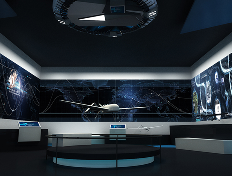
The company has participated in professional UAV symposiums for many times to exchange and learn UAV related technical experience.Additionally, the company has a specialized exhibition hall.


