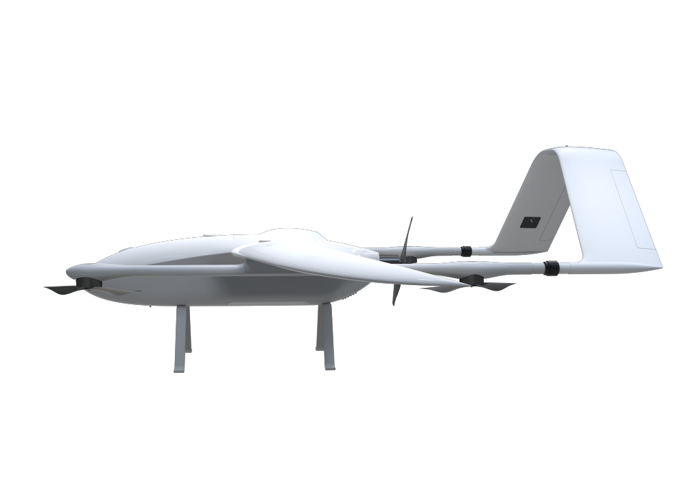
VTOL Fixed Wing Mapping Drone
1. The VTOL Fixed Wing Mapping Dron is user-friendly and suitable for beginners.
2. The VTOL Fixed Wing Mapping Drone is small and lightweight, suitable for use in tight spaces.
3. The VTOL Fixed Wing Mapping Drone can be equipped with a high-definition camera for real-time recording.
- Information
Product introduction of VTOL Fixed Wing Mapping Drone:
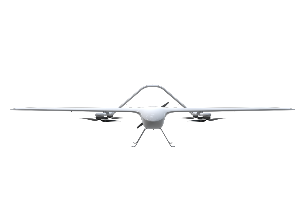
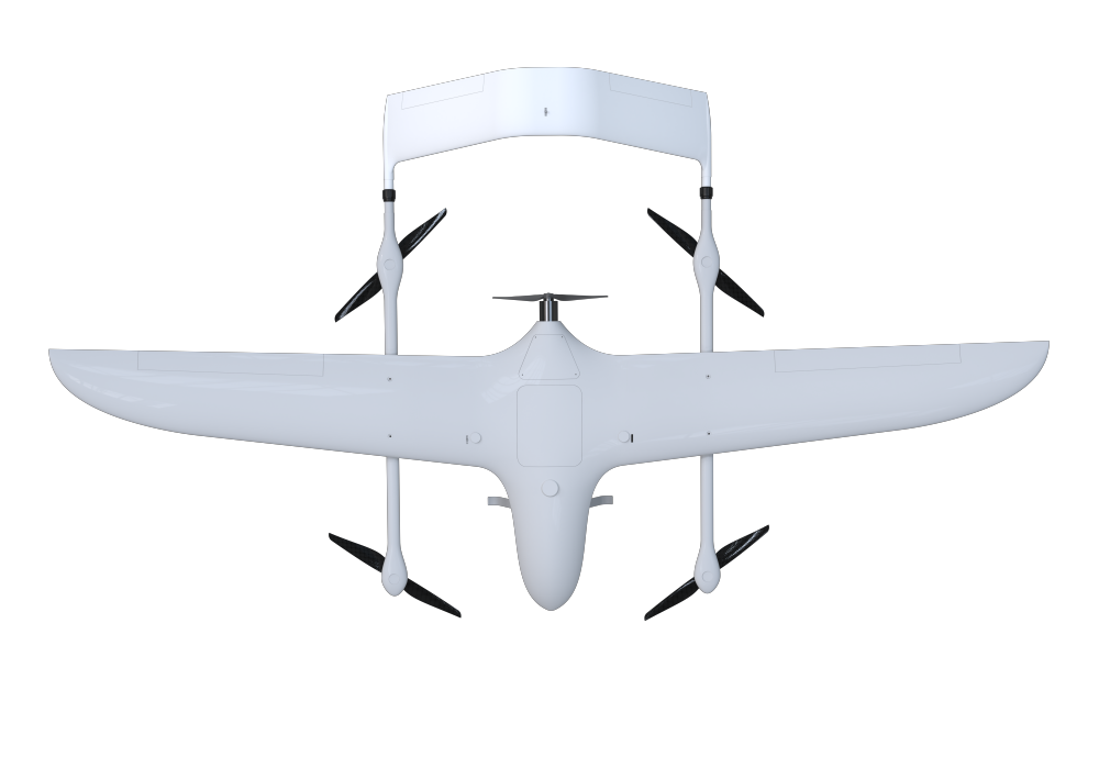
Fixed wing hybrid vtol is an electric long-time composite wing vertical take-off and landing UAV developed independently by our company. Mapping drone is an unmanned aerial vehicle system used in geographic mapping and aerial photogrammetry. The mapping drone is equipped with some high-resolution cameras or laser radar and other sensors, and flies according to the route planned by the operator. It can obtain geographic data and generate maps, 3D models, and other surveying and mapping products. The hybrid VTOL fixed wing uav has the characteristics of fixed wing and vertical take-off and landing model. It can fly in a relatively narrow range and has low requirements for the flight site. RC drones provides a new perspective for urban surveying and mapping, and have gradually become a new tool for urban management.
The product advantages of the VTOL Fixed Wing Mapping Drone:
1. High surveying and mapping efficiency: Traditional geographic surveying and mapping requires a large number of staff go out to work, and the cost of manpower and time is relatively high. However, mapping drone can complete single-person operations and large-area surveying and mapping tasks in a short period of time. Compared to traditional Manual mapping is more efficient.
2. Reduce limitations: Traditional manual surveying and mapping results are limited to digital line drawings, and there is no way to display topographic features three-dimensionally. The RC drone surveying and mapping can realize various surveying and mapping results, such as three-dimensional surveying and mapping, digital line drawing, and so on.
3. Flexible surveying and mapping: small drones can choose different routes and surveying methods according to different surveying and mapping requirements, and can adapt to different surveying and mapping tasks.
4. It is more convenient to process data: Compared to traditional surveying and mapping methods, hybrid vtol fixed wing uav will be more intelligent in digital processing and can directly transmit the collected data to the computer for analysis and processing, reducing the need for manual data processing time and effort, increased efficiency, and accuracy.
The main technical parameters of VTOL Fixed Wing Mapping Drone:
Performance / Index | Parameters |
Fuselage length | 1400mm |
Wingspan | 2500m |
Maximum takeoff weight | 12kg |
Maximum payload | 2kg |
Flight duration | 150min@1kg Payload |
Maximum voyage | 150km |
Cruising speed | 70-90km/h |
Stall speed | 65km/h |
Maximum rise limit | 3000m |
Maximum use altitude | ≤5000m |
Control distance | Remote control:1km Ground station:30km(Standard configuration) |
Wind resistance grade | ≤12m/s(Force 6 wind) |
Use environment | -10℃+45℃; Prevent light rain |
PRODUCT APPLICATION
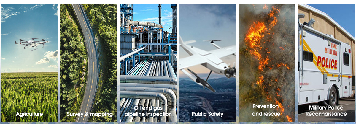
Shenyang Linghang Aviation Science&Technonlogy Co., Ltd. (" LHTechUAV") was established on March 20, 2018 in Sanhao Street, Heping District, Shenyang City, Liaoning Province. It is located in one of the first ten special commercial streets in China, which is a distribution center for computer and IT products in Liaoning Province and the whole Northeast region.The company's products cover a full range of large, medium and small UAVs, such as oil-operated and electric multi-rotor, fixed-wing, vertical take-off and landing composite wings, helicopters, etc., light sports manned aircraft, and a comprehensive management platform for UAV application data; product applications cover agriculture and forestry plant protection, security inspection, aerial photography and mapping, meteorological monitoring, emergency rescue, flight training, tourism experience and other subdivision of civil industry applications, as well as border patrol, electronic reconnaissance, investigation and combat, cluster tactics and other military fields.
Under the great development of China's aviation industry, relying on the momentum of the rise of the northeast industry, with the company's experienced and skilled professional team, the meticulous, perfect and persevering spirit of aviation people, it will definitely lift up the series of products of Sky Patrol Aviation with its strong research and development, design, production and service capabilities to soar in the sky and all over the world.
