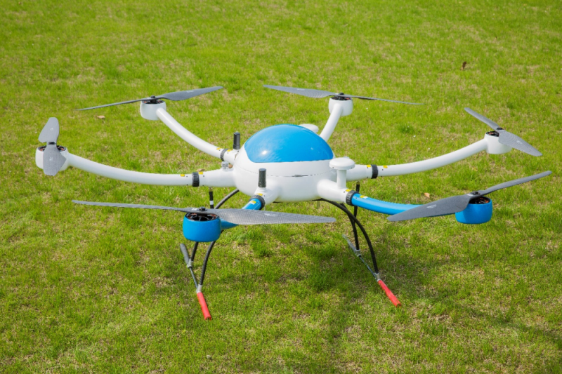
What are the uses of drones in geographic mapping?
2023-07-10 10:00Terrain surveying and mapping: fixed wing mapping drone can be equipped with sensors such as high-definition cameras or lidar, and obtain ground images and data through aerial photography or hovering, and use them to generate high-precision terrain models, digital elevation models (DEM) and digital ground Model (DSM) for geographic information system (GIS) analysis and terrain analysis.
Land use planning: Using fixed wing mapping drone aerial photography can obtain a wide range of surface information, including land types, vegetation coverage, water body distribution, etc., which can help land use planning and resource management, such as farmland planning, urban planning, etc.
Disaster assessment and monitoring: After a natural disaster occurs, the fixed wing mapping drone can quickly fly to the affected area to obtain real-time disaster images and data for disaster assessment and monitoring, as well as guidance for follow-up rescue and recovery work.
Building and infrastructure inspection: UAVs can take aerial photography during the construction, maintenance and inspection of buildings and infrastructure to obtain high-definition images and videos for building structure inspection, equipment maintenance and safety assessment.
Pipeline inspection: The fixed wing mapping drone can be equipped with infrared thermal imaging cameras and other equipment for inspection of oil and gas pipelines, power lines and other pipelines. It can quickly find abnormal hot spots and prevent potential safety hazards.
Environmental monitoring: UAV aerial photography can be used to obtain a wide range of environmental data, such as water quality monitoring, air quality monitoring, etc., for environmental protection and ecological research.
In conclusion, UAVs are widely used in geographic surveying and mapping, which can improve the efficiency of surveying and mapping, reduce costs, and can conduct surveying and mapping in areas that are inaccessible or dangerous for humans.

