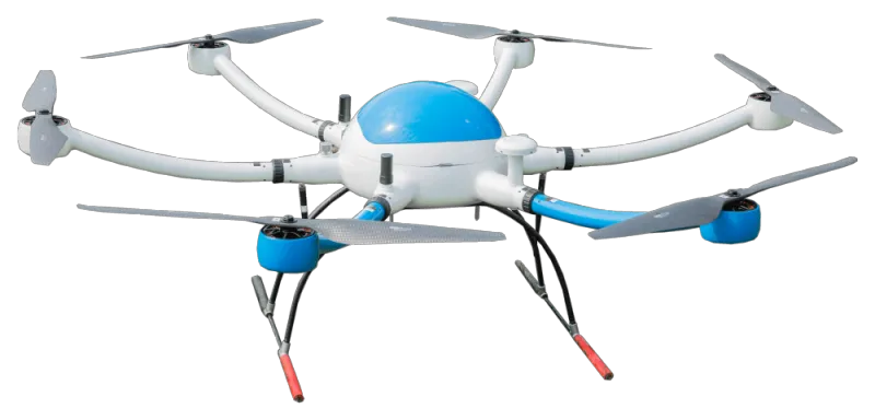
The advantages of using drones for geographic surveying and mapping
2023-08-06 19:00Unmanned aerial vehicles (UAVs) are increasingly used for geographic surveying and mapping, demonstrating many advantages and bringing new advances to earth science research. Geographic surveying and mapping UAVs are equipped with sensors for aerial remote sensing image shooting, providing us with high-quality, high-precision geographic data and strong support for decision-making in the fields of environmental protection, urban planning, and agricultural management.
First of all, UAV geographic mapping is efficient. Compared to traditional surveying and mapping methods, uav mapping can quickly and accurately obtain large-area geographic information. By carrying high-resolution camera equipment, drones can capture a large amount of image data in a short period of time, making geographic surveying and mapping work more efficient. In addition, UAV geographic mapping can also fly autonomously and automatically, reducing labor costs and improving work efficiency.
Second, UAV geographic mapping is flexible. Traditional geographic surveying and mapping is often limited by factors such as terrain and climate, and cannot enter some complex or dangerous areas. vtol mapping drone can easily cope with these difficulties, and perform surveying and mapping work in high mountains, dense forests, deserts, and other environments. This provides more data sources for researchers such as geographers and ecologists, and broadens the field of research.
In addition, drone mapping is precise. Fixed wing mapping drone are equipped with high-precision positioning equipment and aerial photography systems, which can provide high-resolution image data and realize accurate mapping of geographic information. This not only helps to draw accurate maps, but also provides reliable data for research in climate change, land use, and other fields. Accurate geographic surveying and mapping data can also provide scientific decision-making basis for urban planning and traffic construction.
Finally, drone mapping is cost-effective. Compared to traditional aerial remote sensing or ground surveying and mapping methods, uav mapping does not require expensive equipment and manpower input, and the cost is low. This makes geographic surveying and mapping easier to implement and reduces the financial burden on research institutions and government departments. At the same time, UAV geographic surveying and mapping can also obtain data in time, update the map in real time, and provide more accurate information.
To sum up, the wide application of VTOL mapping drones in environmental protection, urban planning, agricultural management and other fields shows many advantages. With the continuous development of UAV technology, it is believed that UAV geographic mapping will bring more breakthroughs in earth science research and help humans better understand and protect the earth.

