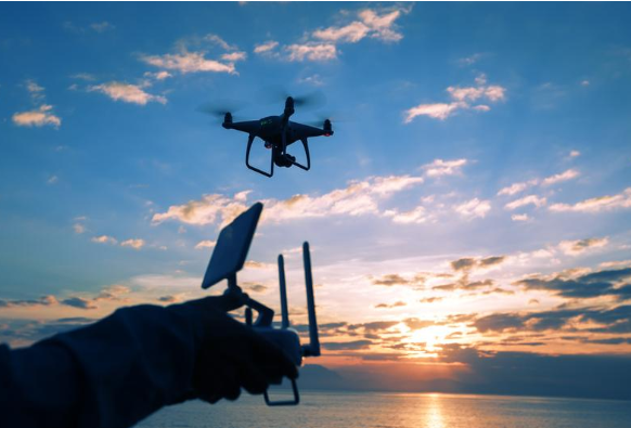
Surveying and mapping drones accurately obtain geographic information
2023-08-14 17:00In 2023, the application of uav mapping technology in the field of surveying and mapping is gradually becoming a hot spot in the industry. The flexibility and efficiency of VTOL mapping drone make it an indispensable tool for surveying and mapping work, providing a new solution for the acquisition and analysis of geographic information.
Traditional surveying and mapping work usually requires manual ground surveys, which is time-consuming, laborious, and costly. However, this has changed radically with the development of drone technology. The fixed wing mapping drone is equipped with sensors such as high-resolution cameras and lidar, which can quickly and accurately acquire large-scale geographic data.
UAVs have a wide range of applications in the field of surveying and mapping. For example, a fixed wing mapping drone can be used for topographical surveys by scanning the surface with lidar to obtain high-precision topographical data. This data can be used in urban planning, land use management, and natural disaster prevention, providing important references for decision-makers.
In addition, uav mapping can also be used for mapping of buildings and infrastructure. With the aerial view of the drone, data on the external structure of the building and surrounding environment can be easily obtained. This has important implications for urban renewal, building safety assessments, and engineering design.
Applications of drones for surveying and mapping also include land surveys and agricultural management. With the high-resolution images of the VTOL mapping drone, the area and shape of the land can be accurately measured, providing reliable data support for land ownership confirmation and land management. At the same time, drones can also be used for agricultural monitoring and crop growth assessment, helping farmers formulate more scientific agricultural production plans.
With the continuous advancement of Geographic Mapping Multirotor Drones technology, its application in the field of surveying and mapping will continue to expand. For example, drones can carry multispectral cameras for vegetation monitoring and environmental protection. UAVs can also be combined with geographic information systems (GIS) to achieve rapid data processing and analysis, providing decision makers with more comprehensive geographic information support.
In short, the application of UAV technology in the field of surveying and mapping provides a new solution for the acquisition and analysis of geographic information. With the continuous advancement of technology, it is believed that drones will play an increasingly important role in the field of surveying and mapping, providing us with more accurate and efficient geographic information services.

