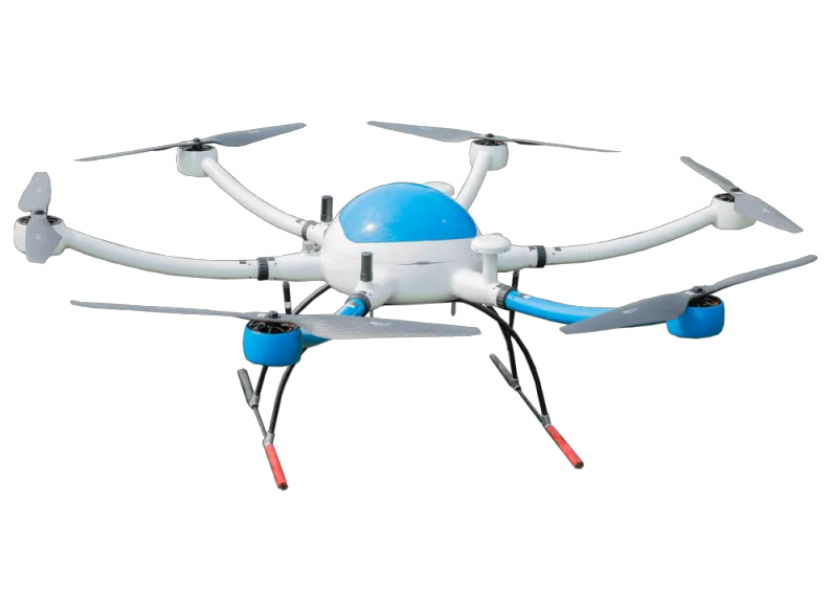
Pilot drone surveying and mapping
2023-10-12 19:00Pilot drone surveying and mapping
To meet market demand, we are pleased to announce that our brand new product Geographic Mapping Multirotor Drones will be available soon.
As a leading technology company, we are committed to providing innovative solutions to our customers. Our Geographic Mapping Multirotor Drones have many advanced technologies and can achieve high-precision geographic information collection in various terrains and environments. Whether it's land surveying, urban planning or environmental monitoring, our products meet every need.
Geographic Mapping Multirotor Drones are capable of high-precision surveying and mapping: Equipped with sophisticated surveying and mapping equipment, our drones are capable of high-precision geographic information collection and provide accurate maps and measurement data. Compared with traditional surveying and mapping methods, using Geographic Mapping Multirotor Drones is faster, more convenient, and more efficient. It can quickly complete large-area surveying and mapping tasks, saving manpower and time costs. Geographic Mapping Multirotor Drones is equipped with professional data analysis software that can process and analyze the collected data to provide users with deeper insights and decision support.
Geographic Mapping Multirotor Drones have become an important tool in the modern surveying and mapping industry, providing users with more accurate and efficient geographical information. Our products will be launched soon, so stay tuned. Whether you are a land planner, city builder or environmental protector, we will wholeheartedly provide you with the best quality products and services to make your surveying and mapping work more accurate and efficient.

