How are drones used to monitor air pollution?
2023-09-30 19:00Drones have entered the public eye as aerial photography tools. However, in addition to the function of aerial photography, drone technology also has huge potential. When drones are used in the field of environmental monitoring, they become an efficient, visual, and accurate traceability and monitoring tool, overcoming the difficulties and high costs caused by insufficient manual, terrain, and data support in the past.
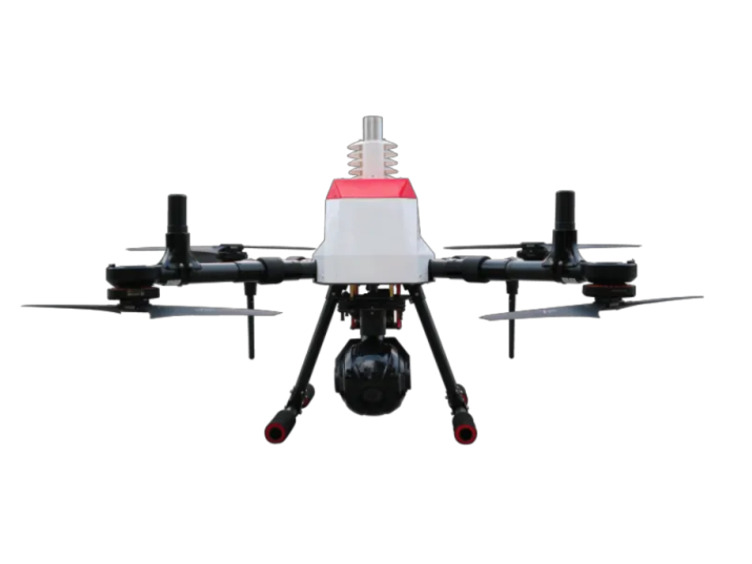
Meteorological Detection Quadcopter Drone can be used in atmospheric environment monitoring, mainly in the following three aspects:
1. Visible light camera
Meteorological Detection Quadcopter Drone+ Visible Light PTZ: It can take photos and videos of the monitoring area, and monitor visible sources of pollution with large pollution concentrations such as black chimneys and straw burning.
2. Gas sensor
Meteorological Detection Quadcopter Drone+ Gas Sensor: The drone is equipped with multiple high-precision gas sensors to patrol the monitoring area and collect pollutant data.
3. Data visualization
Meteorological Detection Quadcopter Drone+ monitoring data visualization: When the drone collects data for atmospheric monitoring in the air, the air pollutant data will be transmitted to the ground software in real time, and the gas pollutants can be revealed by visualizing the color layering of the pollutant concentration. The migration and transformation rules help scientific researchers and supervisory agencies to scientifically and intuitively interpret and analyze air pollution conditions.
Under the severe air pollution situation, it is imperative to improve the quality of the atmospheric environment. Linghang Technology uses the Meteorological Detection Quadcopter Drone to assist various cities in gas monitoring. It hopes to create a new situation of "technology + environmental protection" for various cities and contribute its modest efforts to improve air quality.

