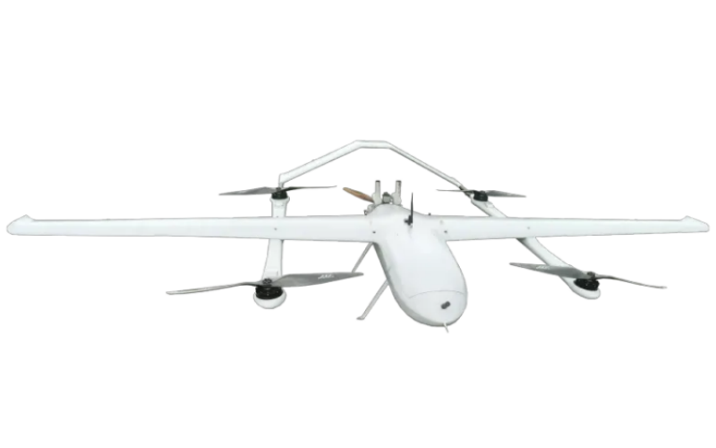
Drones help precise surveying and mapping open a new era
2023-10-24 19:00The development of drone technology has helped the surveying and mapping industry usher in a revolution. As the new favorite in the surveying and mapping industry, surveying and mapping drones have become a powerful assistant in the surveying field due to their high precision and high efficiency. Today, we also want to introduce to you our product, the Mapping Hybrid Wing UAV.
First of all, our Mapping Hybrid Wing UAV is equipped with a state-of-the-art aerial photography system, equipped with a high-resolution camera. Able to clearly display the captured images. Whether you need urban planning, land surveying or building monitoring, our surveying drones can provide clear and accurate image data to provide strong support for your work.
Secondly, our Mapping Hybrid Wing UAV is equipped with a complete intelligent flight control system, capable of autonomous flight and automatic obstacle avoidance. Whether in a complex terrain environment or in a small spaces, my drone can complete the task stably and safely, greatly improving work efficiency.
The most important thing is that in order to ensure the quality of the product, our Mapping Hybrid Wing UAV has undergone strict quality inspection before leaving the factory and has good durability and stability. Not only that, we also have a professional after-sales service team to help customers solve technical problems.
We believe that we can provide products that satisfy you with our advanced technology and high-quality services.

