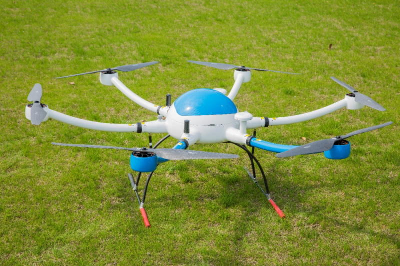
Do you need a Geographic Mapping Multirotor Drones?
2023-04-19 14:18Are you passionate about exploring and analyzing geographic data to make informed decisions? Or maybe you're interested in doing topographic surveys, precision agriculture, emergency response or security surveillance? In either case, you need a reliable and high-quality drone capable of capturing accurate data from the air.
Our Geographic Mapping Multirotor Drones are designed to meet the specific needs of our clients. With their high-tech sensors and advanced autonomous flight, our drones offer unrivaled precision and reliability.

Let's take a look at some of the features and benefits of our Geographic Mapping Multirotor Drones:
Advanced Sensors: Geographic Mapping Multirotor Drones are equipped with advanced sensors such as lidar, hyperspectral cameras, and thermal imagers to capture detailed information on the geography and terrain below. These sensors allow for more precise data collection and analysis, making it easier for you to make informed decisions.
Autonomous Flying: With their advanced GPS system, our Geographic Mapping Multirotor Drones can fly autonomously, meaning you don't need any piloting skills to operate them. Simply program the drone to fly in the desired pattern and it will take off, fly and land on its own.
Multipurpose: Whether you're doing topography, precision agriculture, emergency response or security monitoring, our Geographic Mapping Multirotor Drones can do it. It is a versatile drone that can meet all your needs.
High Quality Output: Our Geographic Mapping Multirotor Drones use high quality cameras and sensors to capture data, ensuring that the output is clear, detailed and accurate. Whether you're analyzing data in real-time or post-processing, you can trust that data quality is top-notch.
Reliable Performance: Our drones are built to last, and we offer excellent customer support to ensure you get the most out of your drone. We know drones are a major investment, which is why our drones come with a warranty and reliability guarantee.
In conclusion, Geographic Mapping Multirotor Drones is the perfect tool for anyone looking to capture accurate and detailed aerial data. Whether you're doing topographic surveying, precision agriculture, emergency response or security surveillance, our drones can help you get the job done.
