About our Geographic Mapping Multirotor Drones
2023-11-08 19:00Hello everyone, today we would like to introduce to you in detail the relevant advantages of our product Geographic Mapping Multirotor Drones to help us make a better choice.
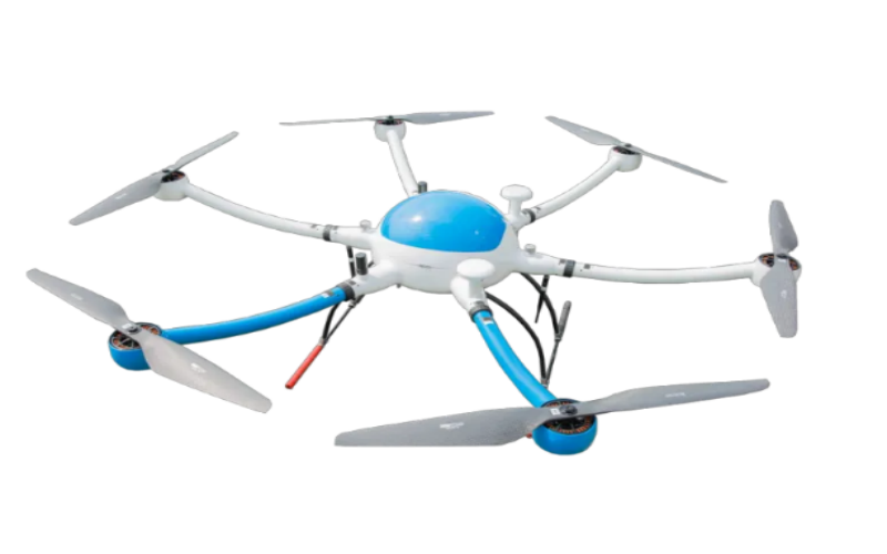
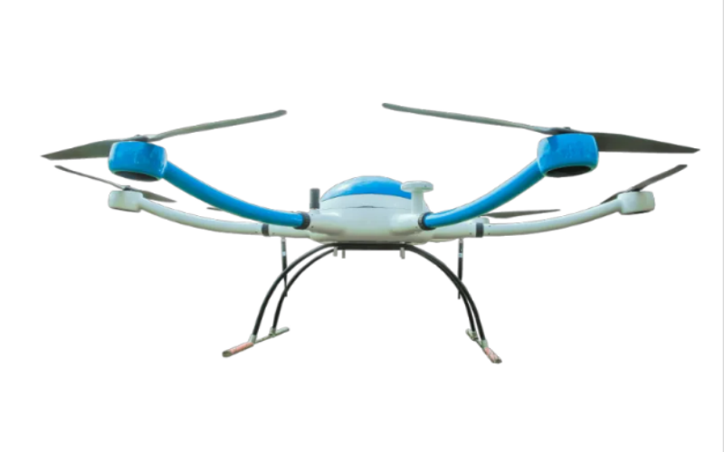
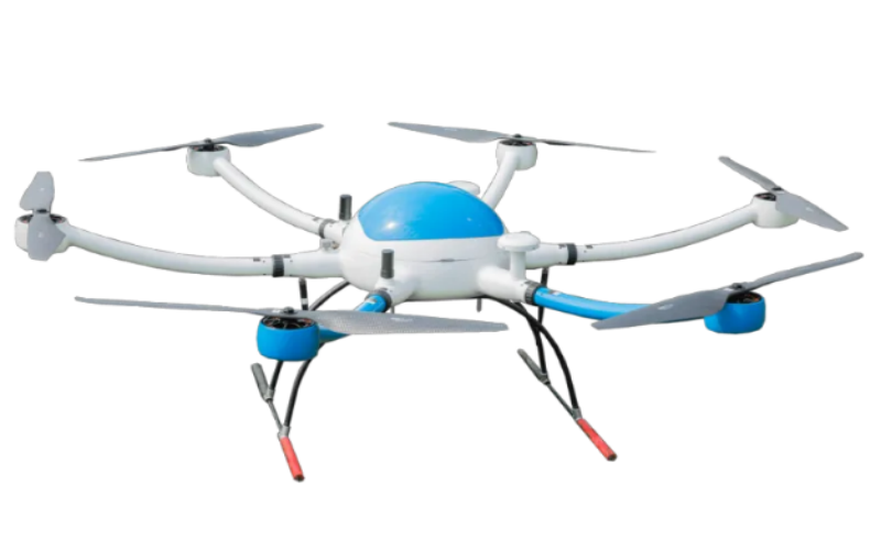
1.Let me introduce to you some information about our Geographic Mapping Multirotor Drones. Geographical mapping multi-rotor drones refer to a type of drone that is heavier than air, and its flight lift is mainly generated by three or more power-driven rotors. The control of changing motion states of geographical surveying and mapping multi-rotor UAVs is generally achieved by changing the rotor speed.
2.Easy to operate
The easy operation characteristics of Geographic Mapping Multirotor Drones are mainly reflected in their simple operation and control. By using handheld ground station equipment for operations, Geographic Mapping Multirotor Drones can independently complete spraying operations, and can also carry out precise planning and control through remote sensing and remote control operations. The overall operation is simple, without the need for site restrictions, greatly improving work efficiency and safety.
3.High flight efficiency
Geographic Mapping Multirotor Drones has high flight efficiency, avoids tail rotor loss, improves flight efficiency and efficiency, and effectively carries out agricultural operations. At the same time, Geographic Mapping Multirotor Drones has the characteristics of high flexibility and high operational efficiency, which can quickly complete operational tasks, improving operational efficiency by 40% -50% compared to traditional methods.


